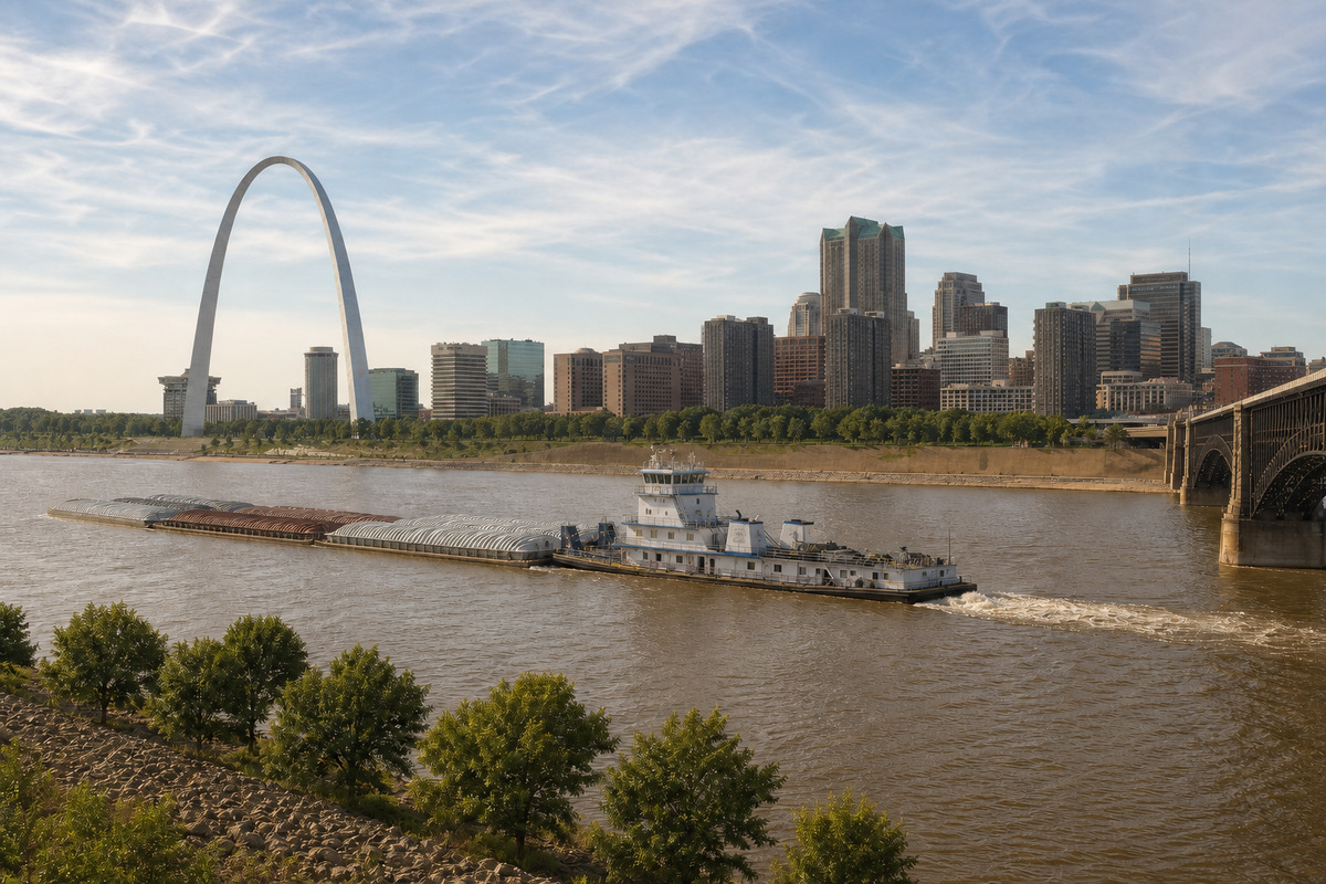
St. Louis Metro and the River Counties
The shortest run on our Missouri map. The depot sits inside the metro, so the approach decides the job far more often than the distance does. Typical delivery 1-2 weeks.
St. Louis is the shortest run we have in Missouri. The depot sits under six miles from downtown, so on most jobs the date comes off the truck schedule rather than off the odometer. What actually decides a St. Louis delivery is the approach. A tilt bed needs roughly one hundred feet of straight, level run to slide a 40ft container off, and closer to seventy for a 20ft, and in south city, Dogtown, the Hill and Soulard that run usually has to come off a brick alley between two houses with a low service line over it. We ask about alley width, wire height and whether the gangway is clear before we load, because that conversation takes two minutes and a failed delivery takes a day. Out in St. Louis County the character of an address changes every few blocks, since there are close to ninety separate municipalities inside that one county and the city itself sits in none of them. Newer ground in St. Charles County, out through O'Fallon, Wentzville and Lake St. Louis, trades alleys for cul-de-sacs and fresh construction fill that has not cured. Jefferson County adds grade and gravel. Both river bottoms are gumbo, which is heavy clay that greases after a rain and sets like a brick in August, and west county and the Meramec valley sit on karst, so a low spot that always holds water is worth mentioning. Two rhythms worth planning around: Cardinals home dates tie up the downtown grid, and Rhineland weekends fill Route 100 and Route 94 through Washington, Augusta and Hermann every fall.
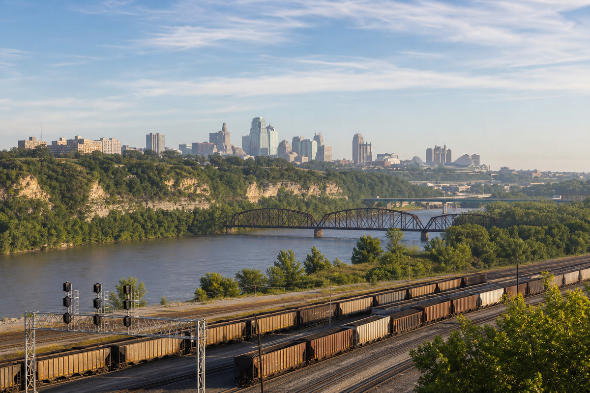
Kansas City Metro and the Northland
A depot sixteen miles from downtown, a state line down the middle of the metro, and more hills than anyone expects. Typical delivery 1-2 weeks.
Kansas City is served from a depot about sixteen miles from downtown, which puts nearly every address in this region inside a comfortable single run. The metro is split down the middle by State Line Road, and this map is the Missouri side of it, which is worth saying plainly because Kansas City, Kansas is a different city in a different state and outsiders mix them constantly. The ground here is not the flat prairie people expect either. Downtown sits on a bluff, the West Bottoms sit under it, and the boulevard and parkway system laid out more than a century ago threads a lot of neighborhoods with narrow medians, limestone walls and low bridge clearances that a loaded truck routes around rather than through. In the Northland, across the river through Gladstone, Liberty, Kearney, Smithville, Parkville and Platte City, lots are bigger and grade becomes the main question. Eastern Jackson County splits between Independence's older square grid and the newer subdivisions in Blue Springs, Lee's Summit and Grain Valley, where a fresh yard will not carry a truck until it has settled. South and east into Cass and Lafayette counties addresses go to lettered routes and outer roads, and the last half mile is usually gravel or chip and seal. Plan around Chiefs and Royals dates on I-70 at the sports complex, the American Royal in the fall, and the winter stretch when freeze and thaw work the clay. Contractors, restoration crews, farm operations and logistics yards are the steadiest buyers here.
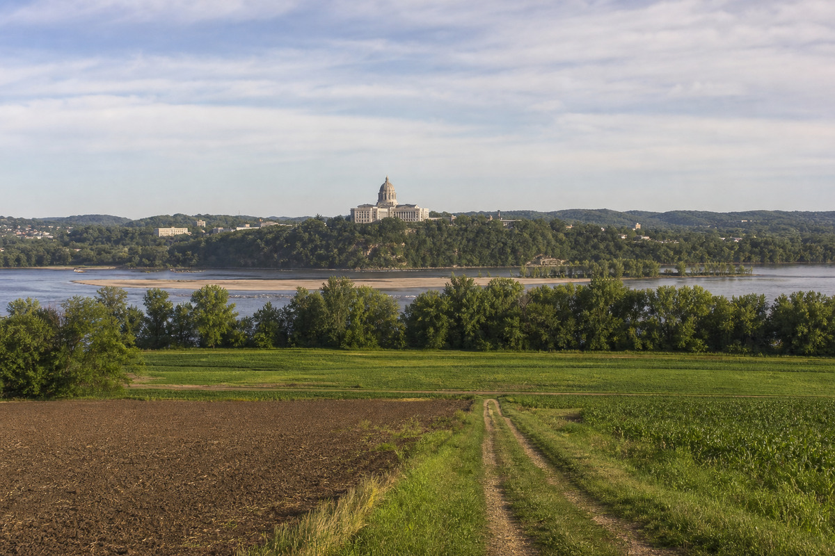
Mid-Missouri, Little Dixie and the Lake of the Ozarks
Almost exactly between both depots, which means whichever truck loads first takes the job. Typical delivery 1-2 weeks.
Mid-Missouri sits almost exactly between our two depots, which is unusual and genuinely useful. Columbia is a little over a hundred and twenty road miles from either St. Louis or Kansas City on I-70, so whichever truck loads first takes the job and the customer never has to care which one it was. The ground changes fast across this region. The Missouri River cuts through the middle of it, and the bottom land on both banks is gumbo that holds water into June while ridge ground a mile away is dry enough to work in March. Jefferson City stacks up a bluff above the river, so plenty of addresses there have a street on one level and a yard on another. Out through Little Dixie, in Fulton, Mexico, Moberly, Paris and Fayette, the roads run the section lines and the last leg is almost always a lettered route. Katy Trail towns like Rocheport, Hartsburg and Tebbetts have narrow bottom-road access that is worth a phone call before we load. Down at Lake of the Ozarks the question is grade, not distance. There is far more shoreline there than most people picture, lots run steeply to the water, many cove drives are private and barely one lane wide, and locals give directions by water mile marker rather than by street name. Two weeks to avoid if you can: Missouri home football Saturdays and August move-in both fill Columbia, and the state fair does the same to Sedalia in August.
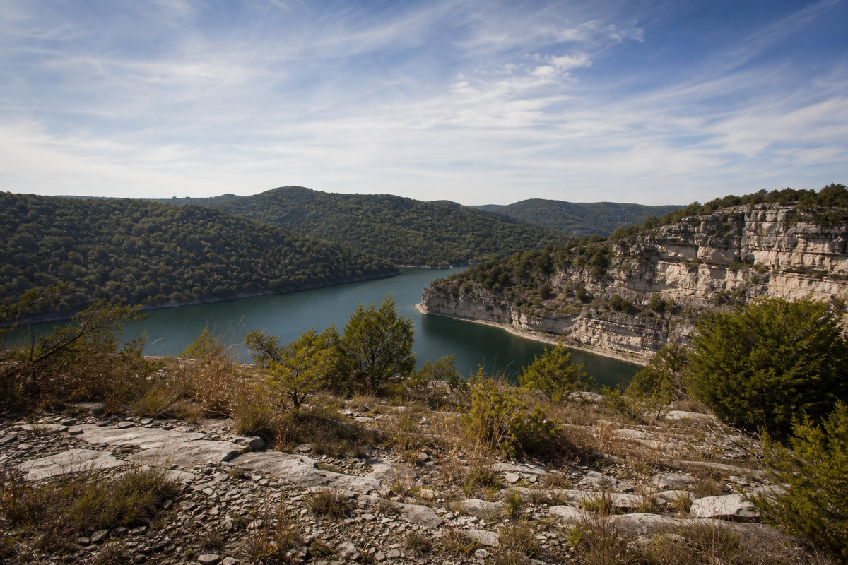
Springfield, Branson and the Ozarks
The biggest single piece of our Missouri map, where grade and rock matter more than mileage. Typical delivery 1-2 weeks.
The Ozarks are the largest single piece of our Missouri map. Springfield sits about a hundred and fifty road miles southeast of the Kansas City depot, down Route 13 through Clinton and Bolivar or around by I-49 and I-44, a comfortable one-day run either way, and the growth ring at Nixa, Ozark, Republic and Willard delivers on the same schedule. In town the corridors that matter are I-44 across the top and US 65 down to Branson. West Plains, Thayer and Gainesville in the far southern tier are the longest runs in the region and get scheduled with a little more notice rather than a longer promise. The ground here helps and hurts in the same breath. Ozark soil is thin over chert and dolomite, so a lot of drives are rock rather than dirt and carry a loaded truck well even after rain, but grade is real. Driveways switch back, pads get cut into hillsides as benches, and a spot that looks level from the road often is not. This is the Cave State, with more than seven thousand recorded caves under it, so sinkholes, springs and soft low corners are worth pointing out to us before we set. Around Branson, Hollister, Kimberling City and the Table Rock shoreline the constraint is lakefront grade plus traffic, and 76 Country Boulevard is effectively closed to efficient trucking through the fall bus season. Joplin, Webb City and Carthage sit over the old tri-state mining district, so on unfamiliar fill we ask what is underneath. Creek crossings on the Finley, James, Niangua and Gasconade are often low-water slabs. Winter here is ice more than snow.
North Missouri, St. Joseph and the Great River Road
Short legs at both ends and a long middle, on gravel, lettered routes and the section grid. Typical delivery 1-2 weeks.
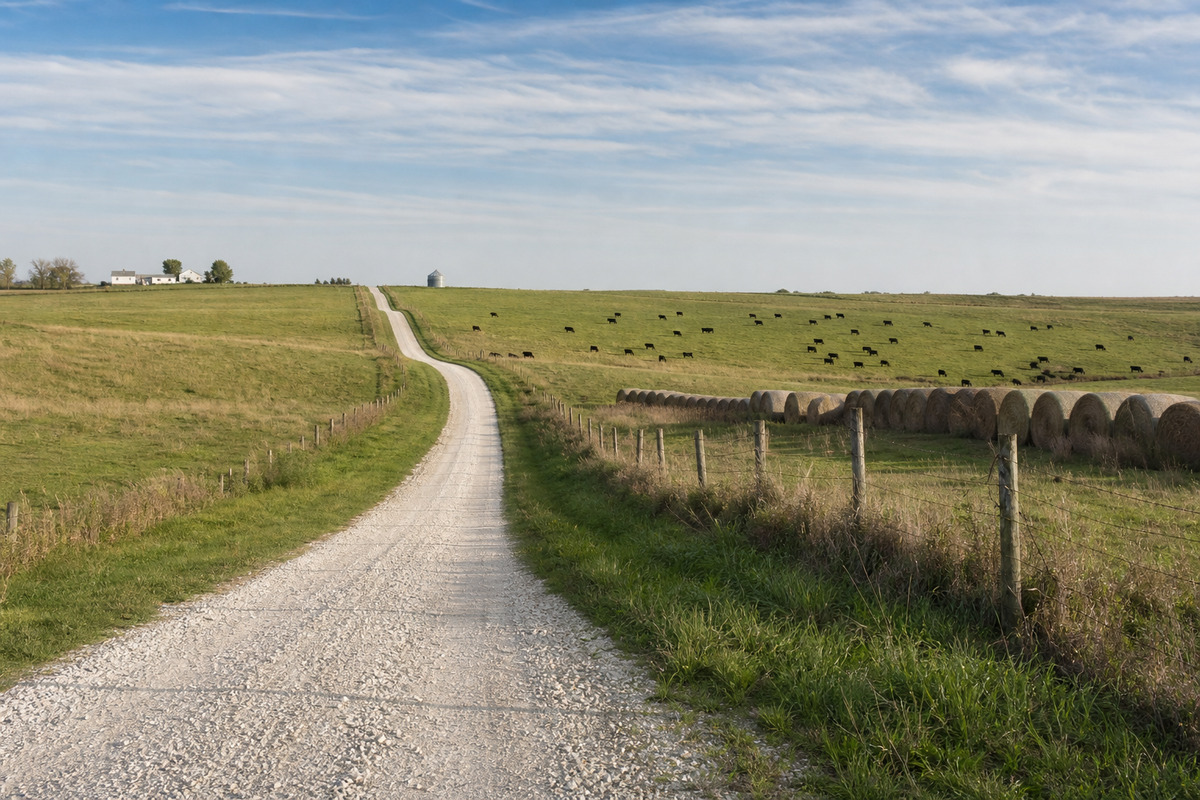
North Missouri delivers faster than its distances suggest, because both ends of the region have a short leg. St. Joseph sits about fifty-five miles up I-29 from the Kansas City depot and Hannibal is roughly a hundred and ten from St. Louis, so the two anchors are close in. The middle is the long part. Kirksville, Milan, Unionville and Memphis are the far corners, and they get scheduled with a little more notice rather than a softer promise. Everything up here runs on the section grid and the lettered routes, and it is completely normal for the last two miles of an address to be county gravel or chip and seal. The soil through the middle of the region is claypan, which drains slowly and stays soft for a stretch every spring, and along both big rivers the bottom ground and levee roads behave the same way. A hard freeze in January is honestly the best delivery surface north Missouri offers all year, and it is worth planning a bottom-ground placement around one on purpose. Row crop, hay and cattle drive most of the demand here, and Missouri runs second in the country for sheer number of farms, so seasonal storage that locks and stays dry is a steady ask rather than a seasonal one. Watch harvest weeks in September and October when grain trucks own the two-lanes, and the November firearms deer portion, when a lot of rural crews are simply not working. US 36 is the fast way across the top.
Southeast Missouri, the Lead Belt and the Bootheel
Two completely different kinds of ground in one region, and the delivery conversation changes at the line between them. Typical delivery 1-2 weeks.
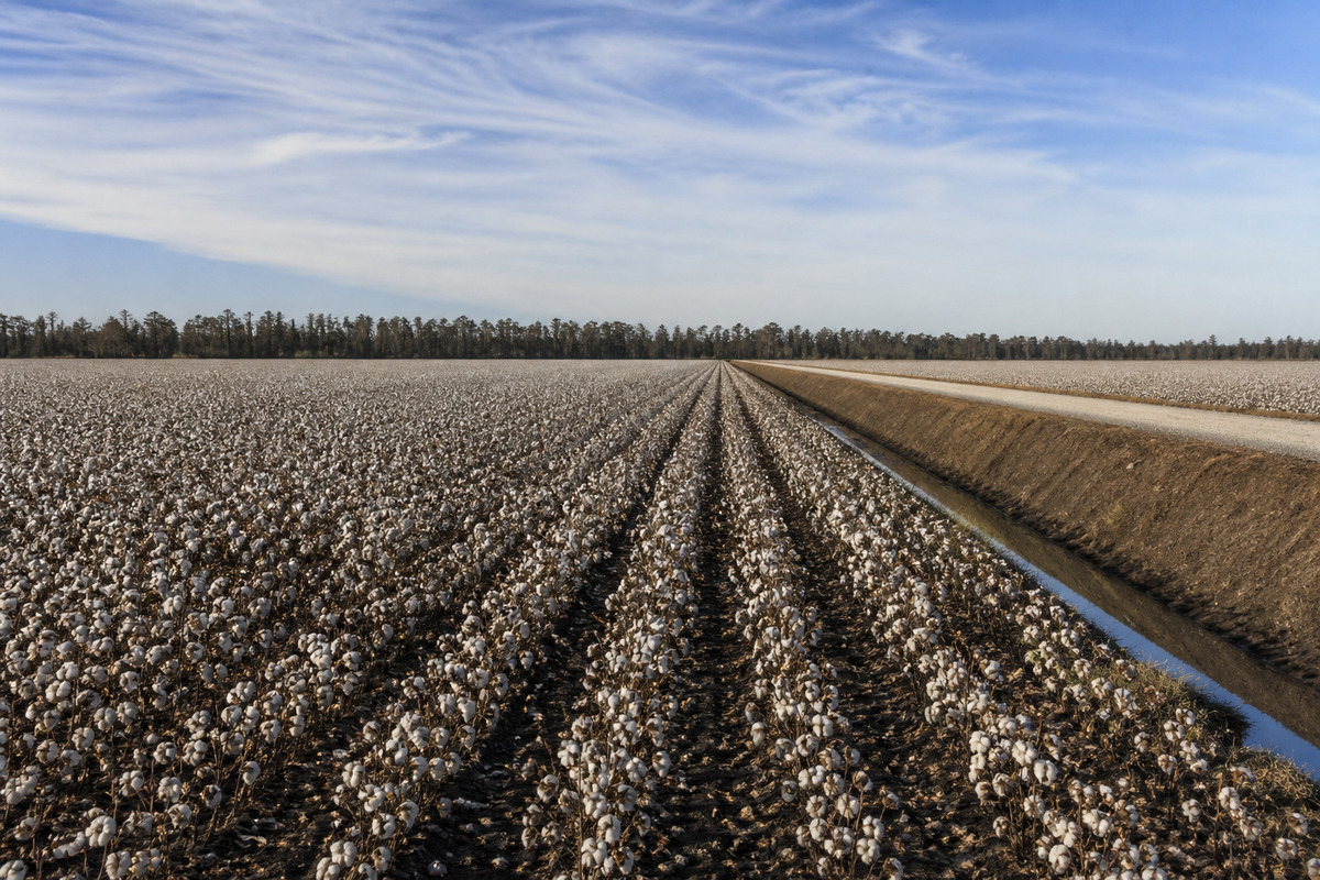
Southeast Missouri holds two very different kinds of ground, and the delivery conversation changes completely between them. North and west of Cape Girardeau, through the old Lead Belt at Park Hills, Bonne Terre, Desloge and Farmington and up into the St. Francois Mountains around Ironton and Arcadia, it is rock and hills. Those are the oldest, hardest mountains in the middle of the country, and Taum Sauk is the state's high point. On old mining ground we ask what is under an unfamiliar pad before we set a loaded box on it, because unknown fill is a real thing here and a two-minute question settles it. Cape Girardeau itself sits on a bluff over the Mississippi behind a floodwall, and river crossings are limited to the named bridges, so routing matters more there than mileage does. South of Sikeston the whole world flattens out. The Bootheel is drained farmland cut by the numbered ditches of the largest drainage district in the country, and the field roads are turn rows and ditch banks that carry a pickup fine and a loaded truck only when they are dry. That soil is buckshot gumbo and it goes from workable to impassable in one afternoon of rain. This is cotton and rice country, further north than most people expect either crop to grow, and the gins, elevators and equipment yards buy and rent steadily. Harvest from late September into November puts module trucks and pickers on every lettered route, so we schedule around it rather than through it.